Okay folks, gather ’round for a tale of balloons, electronics, and chasing the sky! Remember that Aerostar project I mentioned tinkering with? Finally got it wrapped up and learned a ton. Here’s how it all went down.

The Big Idea: Why Mess With Balloons Anyway?
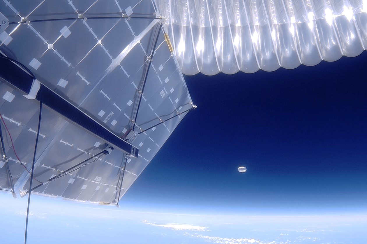
Simple! Satellites cost a fortune. Balloons? Way cheaper. My buddy Max kept raving about Aerostar balloons being tough cookies, handling crazy heights where planes can’t fly. He said folks were using them for all sorts of stuff – sniffing out weather patterns way up high, even trying to spot stars without all that pesky atmosphere messing things up. Sounded like a fun challenge, so I dove in.
Gathering the Gear (And Some Headaches)
First step was shopping. Found a solid Aerostar 2000-gram balloon kit – felt like ordering a giant rubber bubble bath toy. Then came the “brains”:
- A simple Arduino knockoff (no need for NASA-grade stuff).
- A GPS module smaller than my thumb nail – this little guy had to keep talking to us while miles up.
- Couple of sensors: one for temperature, another for pressure, and a basic one I rigged to kinda-sorta sense wind speed changes. Nothing fancy.
- A small camera repurposed from an old action cam – jury-rigged it with wires and hope.
- And batteries. So. Many. Batteries. Kept changing them because I kept worrying they’d freeze up there.
Packing all this junk into a small Styrofoam box took hours. Wires everywhere. Felt like a tangled ball of Christmas lights. Printed labels screaming “DO NOT SHOOT! SCIENTIFIC! (KIND OF)” hoping folks might not mistake it for a UFO… or lunch.
The Nerve-Wracking Launch Day
Chose a morning that looked calm…ish. Grass field outside town. Max came along, playing co-pilot. We hooked up the balloon to the helium tank – sounded like an angry cat hissing. Letting go was the scary part! Watched that balloon, trailing our little box of electronics, climb like a rocket. Felt like watching my paycheck drift away. Held our breath waiting for the GPS signal to lock on the tablet. That first “PING!” showing its location? Best sound ever.
The Chase: More Like “The Mild Panic”
“Chasing” is glorified carpooling with Google Maps open constantly. Drove north, constantly refreshing, heart skipping a beat every time the signal blinked off. Max navigated like a champ, munching chips while I white-knuckled the wheel. The tracker drifted farther east than we expected – windy up high, I guess! That sinking feeling set in once it passed the highway and headed over woods. “Did we lose it?” kept echoing.
The Rescue (Mostly)
Finally saw the little red dot stop moving over this dense patch of trees near old Jenkins’ farm. Hiked in, boots sinking in mud, battling branches. Spotted the parachute (thankfully deployed!) snagged way up in an oak tree. Our payload? Dangling ten feet off the ground like an electronic piñata. Gentle tree shaking (sorry, tree), some cautious pole prodding, and thump – it landed safely. Phew.
Untangling the Treasures (And Flops)
The big moment! Cracked open the slightly damp box… held my breath again.
- GPS track looked awesome – saw it hit nearly 80,000 feet! Way higher than planned.
- Temperature and pressure sensor readings? Gold! Saw exactly when the temperature plummeted up there and how the pressure bottomed out. Cool charts for the blog.
- Photos? Eh. Most were blurry shots of cloud tops or pitch black. Did get one breathtaking edge-of-space horizon view. Worth it? Maybe.
- The wind guesser? Total flop. Need to figure that out next time.
So, Did It Work?
Yes! Mostly.
Proved the basics work cheaply: getting stuff super high, tracking it, snagging key weather data. Seeing that environment firsthand through the sensors was mind-blowing. Camera was a letdown, but live and learn. The launch and the nervous chase? Honestly, that was half the fun. Was it perfect science? Nope. Was it an awesome, hands-on learning adventure fueled by duct tape and dumb hope? Absolutely. Can’t wait to tweak the setup and try again – maybe aim for star pictures next time!